
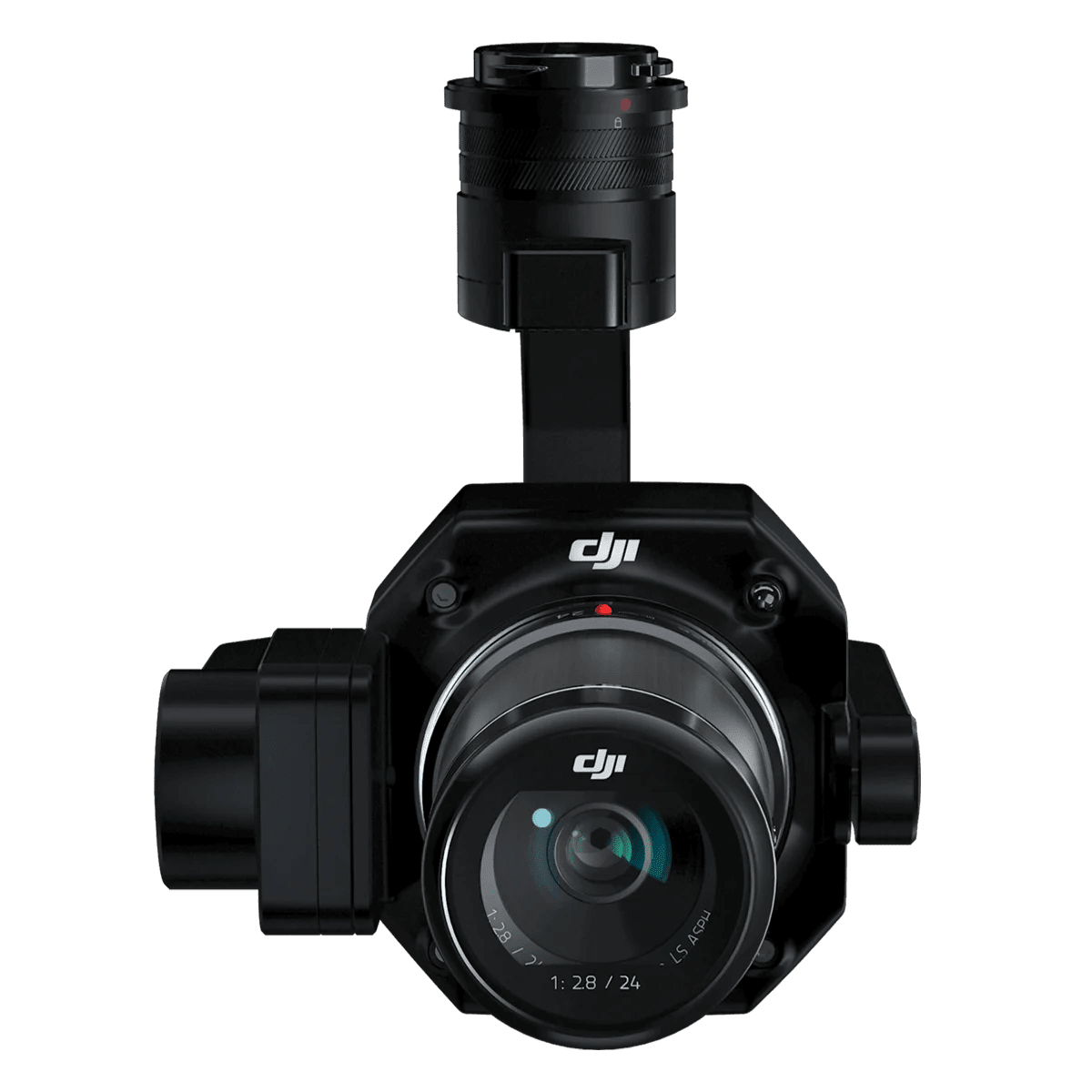
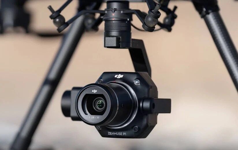
DJI Zenmuse P1 Full-frame 45MP Photogrammetry Camera
$7,230.00
Out of stock
🛩️ DJI Zenmuse P1 Full-frame 45MP Photogrammetry Camera 📸
📦 In the Box:
📷 Gimbal and Camera × 1
💾 MicroSD Card 16GB × 1
💽 SD Card 128GB × 1
🧳 Storage Case × 1
🔒 Camera Body Cap × 1
🔙 Lens Rear Cap × 1
🧼 Lens Cleaning Cloth × 1
🔍 Lens Cap × 1
🔭 DJI DL 35mm Lens × 1
🛠️ DJI Terra Activation Code × 1
✨ Key Features:
✅ Accuracy Without GCPs: Achieve 3 cm horizontal and 5 cm vertical accuracy without ground control points (GCPs)
🌍 High Efficiency: Cover up to 3 km² in a single flight
🔎 45 MP Full-frame Sensor: Capture high-resolution, detailed images with every flight
⚙️ Global Mechanical Shutter: Shutter speed of 1/2000 seconds for precise image capture
🚀 Smart Oblique Capture: Increases efficiency by 20-50% during post-processing
⏱️ TimeSync 2.0: Microsecond-level synchronization across modules for highly accurate geotagged data
🌀 3-axis Stabilized Gimbal: Supports 24mm, 35mm, and 50mm fixed-focus lenses for versatile photogrammetry missions
⚡ Efficiency and Performance:
📷 High-Speed Image Capture: Take one photo every 0.7 seconds during flights for optimal data collection
🌅 Full-frame Sensor: With 4.4 μm pixel size, ensuring low-noise, high-sensitivity imaging for extended operational hours
🌐 Coverage: Cover up to 7.5 km² in a single workday using Smart Oblique Capture, perfect for large-scale projects
💾 Smart Data Management:
📂 Automated File Association: Mission results are automatically labeled with Mission Name and Mission Time for easy organization
🗃️ Centralized Storage: All photos, GNSS data, and TimeStamps.MRK files are saved in one location
🔍 Real-time Quality Check: Post-flight field reports show RTK status, positioning accuracy, and the number of images acquired
🌍 Application Scenarios:
📐 Topographic Mapping: Generate 1:500 scale accurate maps without GCPs
🏠 Cadastral Surveying: Create centimeter-level accurate 3D reality models
🏗️ AEC & Surveying: Manage full project lifecycles with 2D and 3D drone data
🌿 Natural Resource Management: Measure and classify water bodies and forests
🪨 Geological Investigation: Capture millimeter-level accurate data of hazard sites
🚨 Disaster Site Modeling: Create real-time overviews of disaster zones to aid in critical decision-making
🔥 Why Choose the Zenmuse P1?
The DJI Zenmuse P1 is the ultimate tool for professional aerial surveying and photogrammetry. Its high-resolution sensor, mechanical shutter, and real-time synchronization capabilities deliver unparalleled accuracy and efficiency, making it the perfect choice for large-scale surveying, mapping, and modeling missions.
📞 Contact us today to learn more or add the DJI Zenmuse P1 to your drone surveying toolkit! 🚀
